***Online pricing not available, Please request a quote:***
How To Get A Quote:
Option 1:
“Contact Us to make sure you are getting the best unit possible. These machines are complex so let us help you get exactly what you need!
Option 2: (quickest response times)
Step 1. Add the item to your cart
Step 2. Checkout or Click on the Chat button box that is at the bottom right of your screen
Step 3. Please tell us any info you think we would need to know
Step 4. Relax, our team is processing your request and an expert will be in touch to get you exactly what you need!
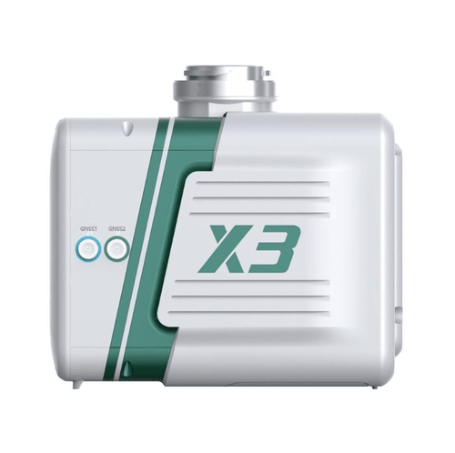
LiAir X3 is the newest compact, high-performance unit in the LiAir series by GreenValley International. It adopts a new integrated design style and integrates lightweight LiDAR, self-developed inertial navigation, a high-resolution mapping camera and on-board
computer systems providing new levels of efficiency.
ADVANTAGES:
- Lightweight & Simple: Integrated simple yet rugged design, allowing for protection against the elements with an IP54 rating. The operation interface is straightforward, allowing one touch operation for maximum efficiency.
- New Camera, Providing Ultra-Clear Picture Quality: Built-in new high-resolution custom mapping camera, the image resolution is upgraded from 24 Megapixels to 26 Megapixels, allowing for high-quality true-color point clouds as well as orthophotos for Photogrammetry
- LiPlan Flight Assistance Software, Making Field Work Easy: LiPlan supports real-time point cloud display, parameter adjustment, and status monitoring. It can be directly installed on the M300 RTK remote controller and used in conjunction with the X3 to help operators control the site conditions in real time.