


RTK enables the generation of highly accurate point cloud data and 3D models with accuracy within a few centimeters.
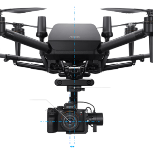
Achieve precise hovering and centimeter-level accurate mapping data when using the Real-Time Kinematic RTK Kit for Airpeak S1 from Sony with your Airpeak drone. This level of accuracy can be essential in industrial inspections, construction, and surveying. The kit offers a quick, safe, efficient, and cost-effective method of accessing hard-to-reach areas and structures compared to manual inspection. The kit is comprised of a base station that feeds GNSS signals to the Airpeak remote, which relays them to dual receiving antennas on the Airpeak.