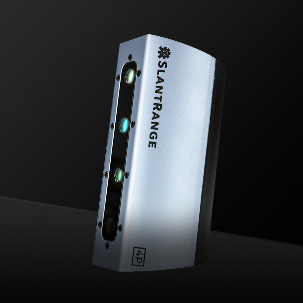
In the digital age, the journey from planting to harvest goes through the air. Aerial crop scouting and resultant NDVI and NDRE crop mapping analyses influence every major decision a farmer makes. Efficient planting density, irrigation, and application of nutrients, pesticides, and herbicides all rely on accurate information. No crop scouting sensors generate more actionable data than SlantRange sensors.
When mounted on drones, SlantRange sensors gather richer, more detailed data than any competing system that scouts field and crop health. Adaptability to most UAVs plus unprecedented high resolution and spatial awareness take accuracy and reliability of data to new heights.
Who Benefits from SlantRange Sensors
Farming professionals, including growers on operations of all sizes, and the professionals who supply them with equipment, materials, and advice use SlantRange sensors to gather highly accurate information.
Actionable data is harvested and processed long before a single kernel or grain. Analyses that make sense of all that data enable farmers to make decisions pinpointing problem areas and maximizing yield—and profit.
- Farmers and farm managers
- Agricultural equipment dealers
- Suppliers of nutrients, herbicides and pesticides
- Agronomists, researchers and academics
- Crop consultants
- Extension services
- Sprayers
- Installers and suppliers of drainage tile systems
- Seed producers maintaining test plots
- High school, college and university agricultural programs
Advantages
Light Measurement
SlantRange’s newest sensors measure light from six spectral bands, including light the human eye can’t see: RGB imaging plus red, green, red edge, and near-infrared (NIR).
Red Edge Readings
Red edge readings give earlier indications of crop disease and stress, allowing earlier action.
Pioneered Light Calibration
SlantRange pioneered light calibration to lend extreme accuracy to repeat data-gathering flights made for the purpose of gauging the effectiveness of remedial action over time.
Exact Location Flyovers
Drones with SlantRange sensors mounted to them return to their exact spot for subsequent flyovers, recording mages from precisely the same angle.
SLANTRANGE PERFORMANCE
More data means more accuracy, and that’s where SlantRange sensors excel.
The higher resolution of SlantRange 4P sensors—higher still in the SlantRange 4P+—and the six-band sensitivity mean more data is available to analytical programs that turn it into informational crop maps. The data gathered by 4P and 4P+ creates layers of information, such as plant population, weed density, and crop stress, that can be obtained by the operator at the field’s edge minutes after landing the drone. Data is processed onboard the sensor. Standard full-frame light calibration and positioning based on both dual GPS and IMU data make intermittent readings totally compatible. Crops are captured from the same angle and the same location the drone had been in earlier, and with sunlight calibration, in comparable light regardless of time or day, weather or season. Its ability to read the red edge light band facilitates early diagnosis of crop disease and stress, speeding corrective action.
Software Adaptability
SlantRange sensors can be mounted on a range of drones, with optimal performance when mounted on a DJI M200 series quadcopter. A Drone Nerds consultant can help you obtain the mounting hardware you need. SlantRange 4P versions compatible with and controllable through DJI Skyport also are available. SlantRange sensors work with SlantRange SlantView software and with other agricultural analytic platforms. All SlantRage 4P and 4P+ sensors ship with a GPC Hardshell Case, Power Cable, and SD Card.


